Aquilian Mountains, Route A
General Data
Total distance
Organiza
Asociación Deportiva
"Rutas del Bierzo"
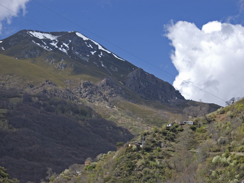
First Phase: Montes de Valdueza
 High resolution image. This link will open using lightbox, there may be a context switch
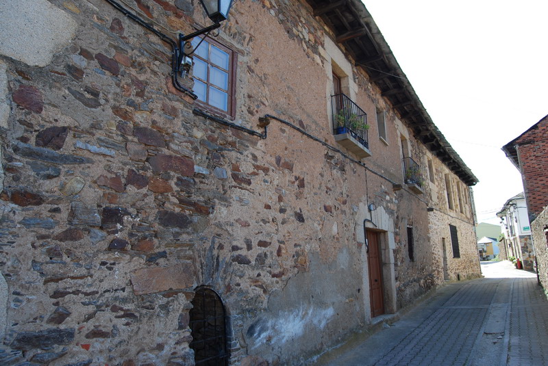
The beginning is located in the city council square, once we have gone through the urban area, we go to the bridge over the river Boeza, from which we go from the town Otero to the hill El Pajariel.
We continue with a severe descent through a firebreak until the Oza River, whose bed goes back until the bridge of Villanueva, which leads us to the town with the same name. (The first control and provisions will be located here).
New ascension up to la Pandilla, and from this point, a quick descent will leads us to Valdefrancos town and once more to the Oza River, whose course will follow now among riverside trees and through the old road to San Pedro de Montes, we ascend to this town (in the esplanade of its Benedictine Monastery, there will be control and provisions).
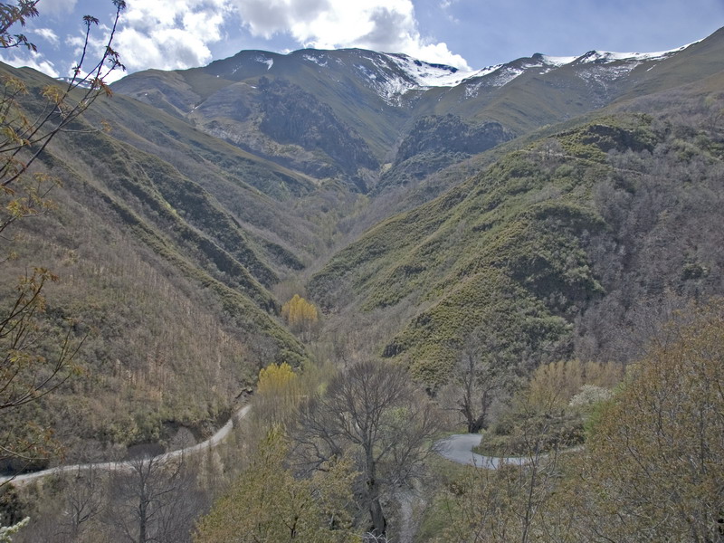
Second Phase: Montes de Valdueza - Peñalba - Ferradillo.
 High resolution image. This link will open using lightbox, there may be a context switch
We take the path which leads to Peñalba, (control and provisions), crossing the hill La Malladita, El Valle del Silencio and the stream with the same name.
High resolution image. This link will open using lightbox, there may be a context switch
We take the path which leads to Peñalba, (control and provisions), crossing the hill La Malladita, El Valle del Silencio and the stream with the same name.
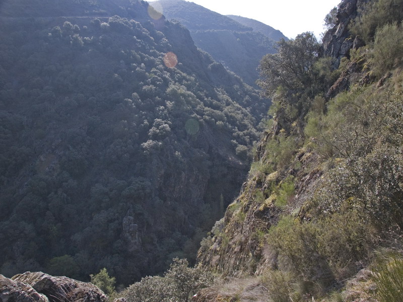
We get to Peñalba de Santiago and we take the path that leads to the Valle de Friera where we start to ascend to the high peaks (Silla de la Yegua 2.143; las Verdianas 2.116 m; Pico Tuerto 2051 m (control) and the smallest one, La Aguiana 1.849 m) and then we descend to El Campo de las Danzas and Ferradillo, where the second phase ends.
 High resolution image. This link will open using lightbox, there may be a context switch
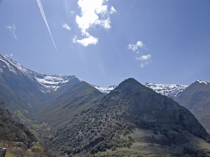
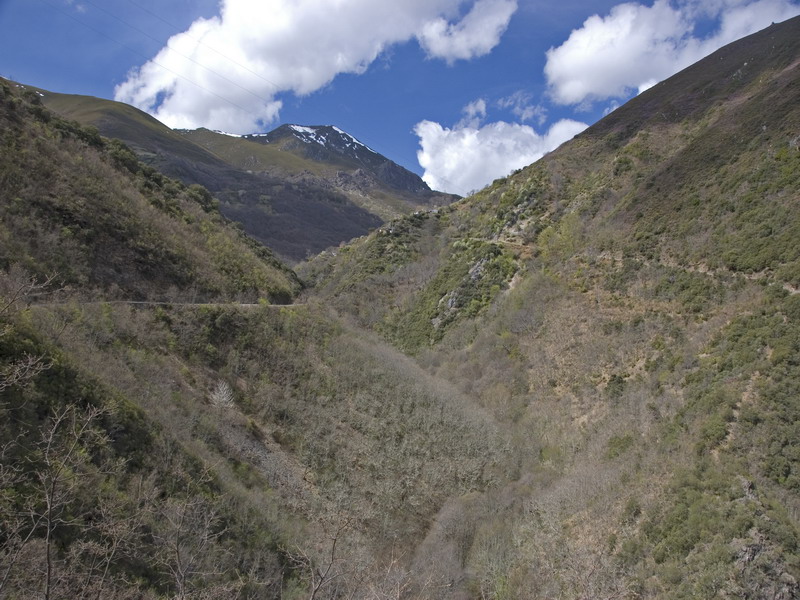
Third Phase: Ferradillo - Ponferrada.
High resolution image. This link will open using lightbox, there may be a context switch
Third Phase: Ferradillo - Ponferrada.
From this point until the geodesic vertex of Peña Reconco, it is advisable to pay attention to the signposting, because it is an area where it is very easy to get lost from the path.
From the geodesic vertex, with a severe descent, following a path among a little forest of oaks trees and a chestnuts court, we arrive to Rimor (where there will be a control and provisions).
After we've gone thorough the town following a cart road among vineyards, we get to Toral de Merayo and we continue onto the slope of El Pajariel mountain, crossing the Sil River at the slaughterhouse direction to the Templar Castle, and from here to the Town Council Square (control and route end).