Path of the Monks
General Data
Difficulty
Duration
Means
Recommended age
Total distance
Gap
 High resolution image. This link will open using lightbox, there may be a context switch
From Boeza Bridge in Ponferrada, there is a sign which indicates the Romanesque Church Santa María de Vizbayo. From this point the route is signposted.
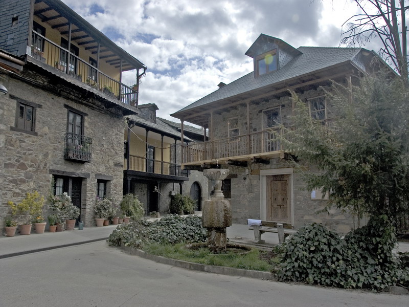
We ascend to the town Otero until we reach a raised area with a fountain.
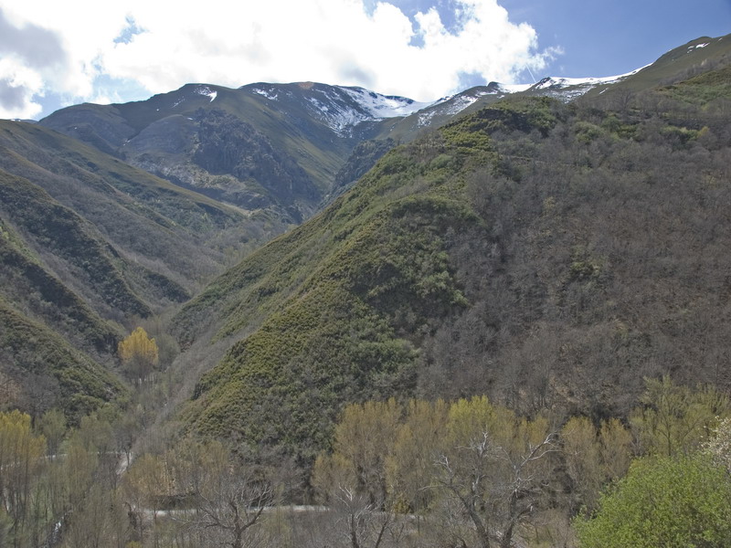
We follow a cart road which is on the side of the Pajariel Mountain, avoiding the branches on the right and on the left.
In the 4th Km. we arrive up to Valdecañadas and we continue among the vineyards until San Esteban in the kilometre number 5.3.
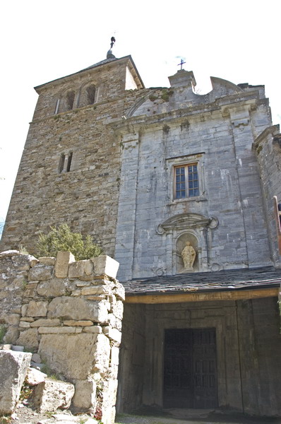
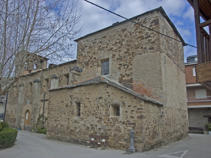
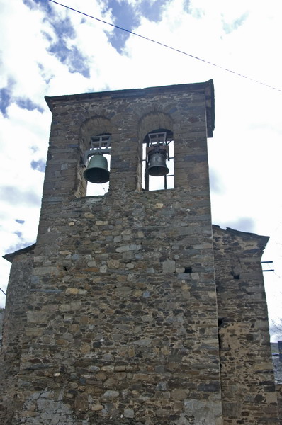
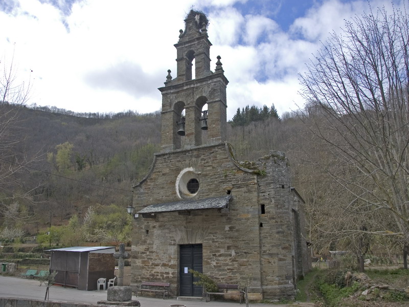
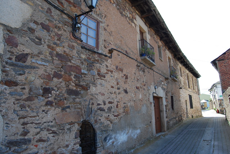
The road has to be crossed and we have to go on following a path on the right until the church of San Esteban de Valdueza (Km. 6.5).
 High resolution image. This link will open using lightbox, there may be a context switch
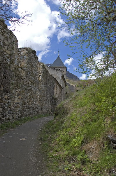
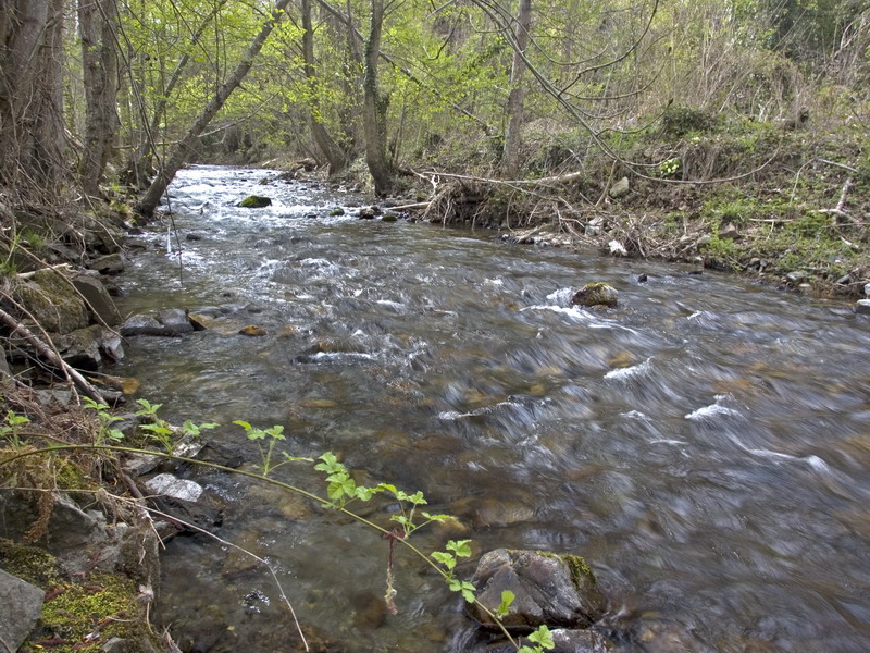
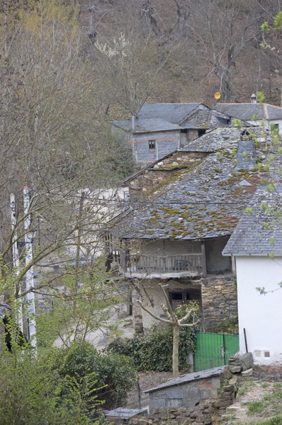
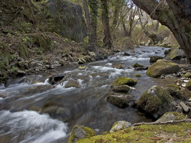
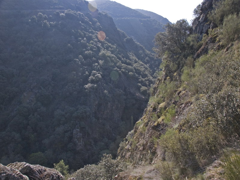
From the town, the path is parallel to the right banks of the river Oza until we arrive to the stream of Villanueva, where it continues on the right bank until Villanueva de Valdueza (km. 8.70).
High resolution image. This link will open using lightbox, there may be a context switch
From the town, the path is parallel to the right banks of the river Oza until we arrive to the stream of Villanueva, where it continues on the right bank until Villanueva de Valdueza (km. 8.70).
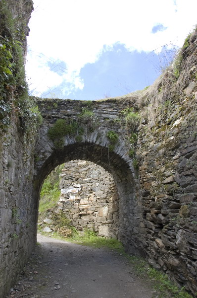
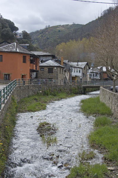
Now we leave the town and we descend until Valdefrancos (Km. 11.8), and we have to continue on the left bank of the river Oza, until San Clemente de Valdueza (Km. 14).
From the mill of this town we'll find a path which crosses the Peñalba road.
We have to continue following this path on the right, with a quite steep slope.
We can see the marks of the carts in the path. In the kilometre number 16.4 the road is crossed by a Roman canal that we have to follow until we cross the path of the Tebaida Berciana.
We follow the canal until we arrive to Montes de Valdueza (Km. 19.50)