A walk in Ponferrada
General Data
Difficulty
Duration
Means
Recommended age
Signposted route
Total distance
Gap
GPS coordinates:
Start
(Villar de los Barrios): 4712660-697395
Arrival
to Priaranza: 4708988-691336
 High resolution image. This link will open using lightbox, there may be a context switch
This route is among vineyards, almond trees, walnut trees and chestnuts plantations.
Outside the path the lands are private, and due to this fact we shouldn't go off the path.
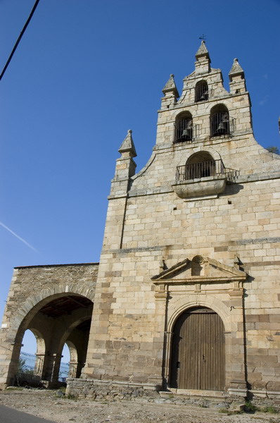
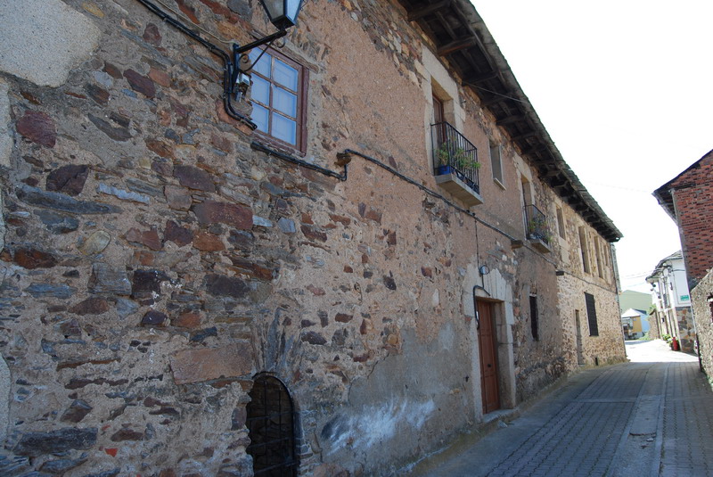
We start in Villar de los Barrios,
once we have left La Ermita del Cristo,
we turn right and follow an earth road that bifurcates each few meters.
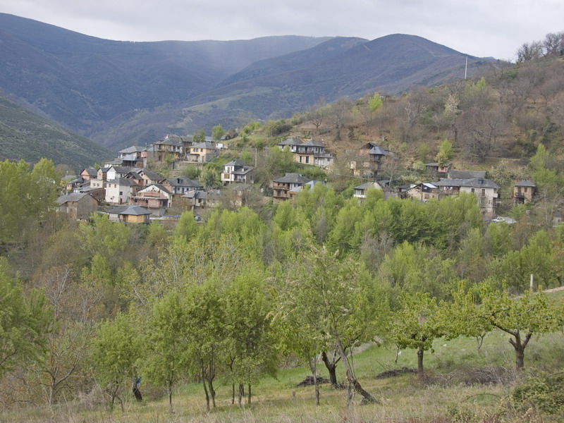
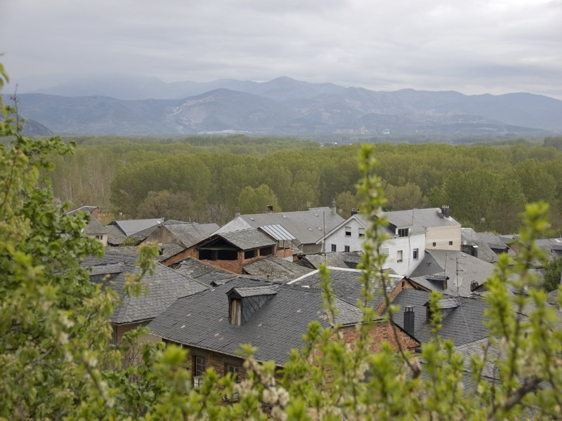
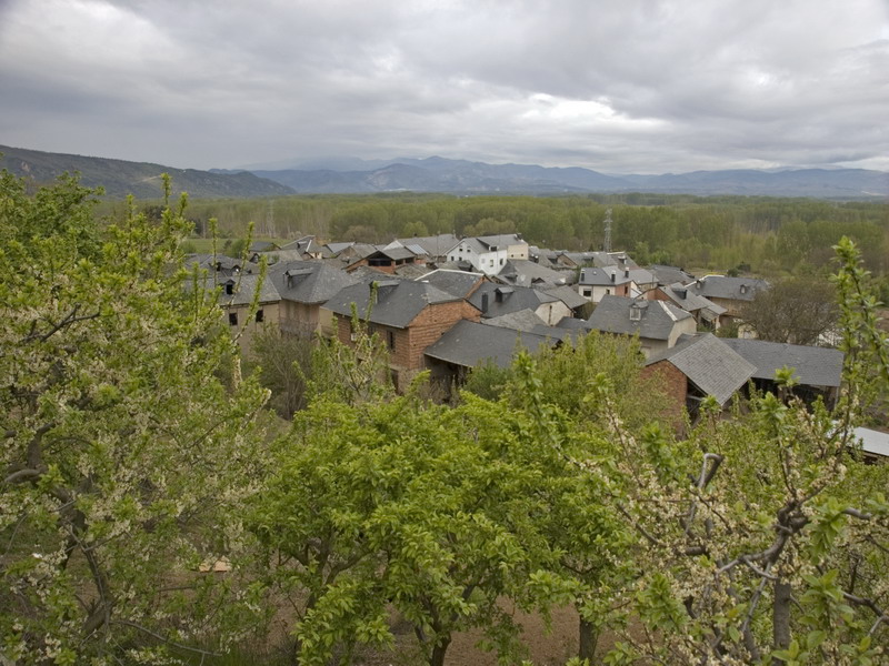
We cross San Lorenzo and we follow until Valdecañada, which is the second town we find in the road.
 High resolution image. This link will open using lightbox, there may be a context switch
Once we have arrived here we'll see an indication to Ozuela,
and this is the road we have to follow. In Ozuela we turn left and we cross the town until we find the road that leads us to Orbanajo.
High resolution image. This link will open using lightbox, there may be a context switch
Once we have arrived here we'll see an indication to Ozuela,
and this is the road we have to follow. In Ozuela we turn left and we cross the town until we find the road that leads us to Orbanajo.
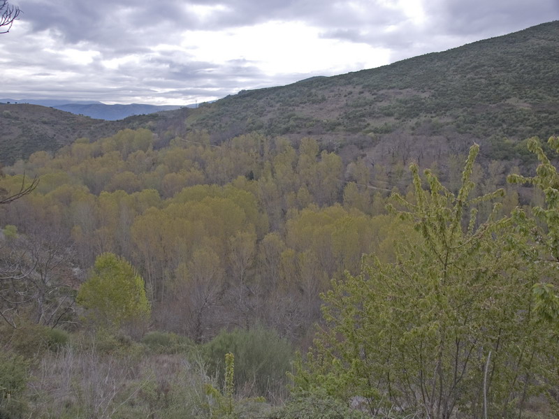
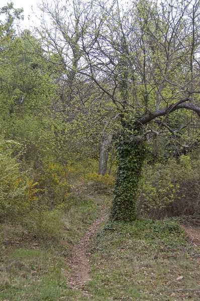
First we walk on asphalt and then following a path next to the stream, a shady riverside area.
We cross the town Orbanajo and when we leave it we take an earth road on the left.
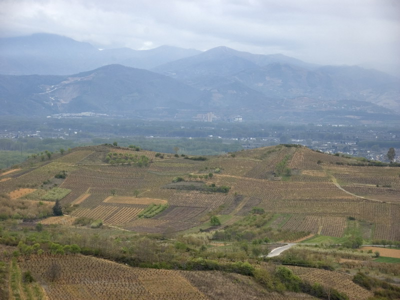
We continue following this area of flat ground contemplating the chestnuts areas on the hillside and some extraordinary views of the valley el Bierzo.
 High resolution image. This link will open using lightbox, there may be a context switch
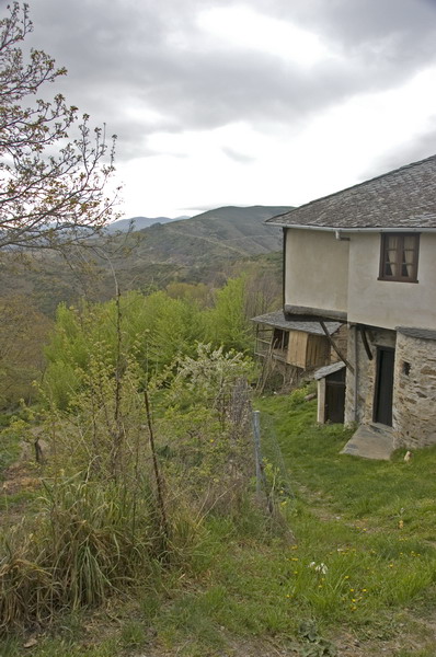
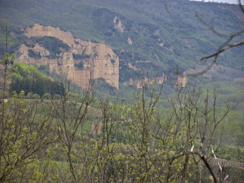
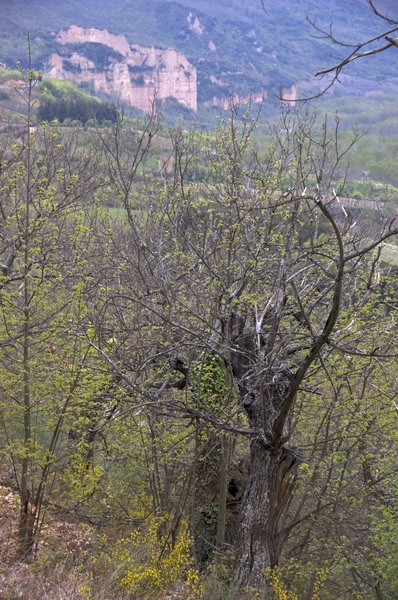
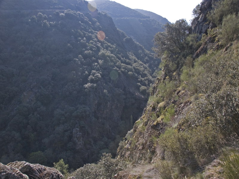
From here we see Las Barrancas de Santalla.
This road leads us to Priaranza where the route ends.
High resolution image. This link will open using lightbox, there may be a context switch
From here we see Las Barrancas de Santalla.
This road leads us to Priaranza where the route ends.
VARIATION:
In this route it is also possible to take a shorter way.
On the road that goes down to San Lorenzo we find a crossing which leads us on the left to Valdecañada to join the main route and on the right direction Toral de Merayo.
Crossing the town until we arrive to the road which leads us to Boeza Bridge, where we finish the route.